



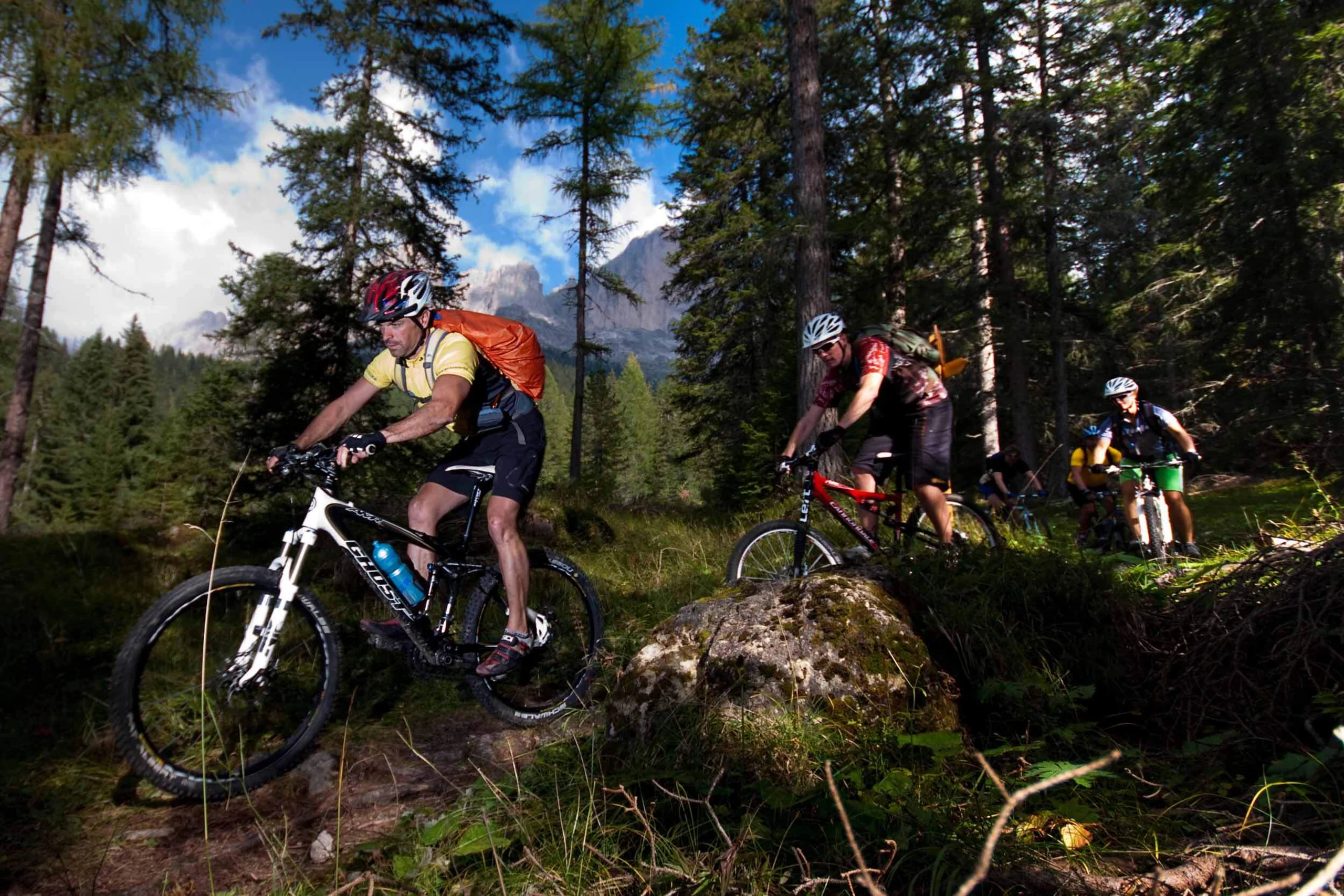
THE MONTE AGNELLO
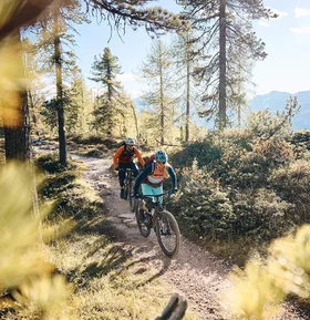
Short and crisp - if you leave the tree line behind you on the uphill to the Reiterjoch, you might get a fright. The tour destination at just under 2,300 m, including the ascent, lies in the line of sight. Not only does it look like it, it's also short, but really steep before the summit. The only thing that helps is to look at the front wheel and pedal, pedal, pedal. There are several mountain pastures along the way. Leave them on the right and only stop off on the way back. Then the ascent will also work.
Plan & navigate your mountain bike route
Open the MTB route on Komoot to view the full course on the map, plan your mountain bike tour and navigate along the way. You can save the route for your personal trip planning and use or export it as a GPX file for compatible navigation devices and apps.